
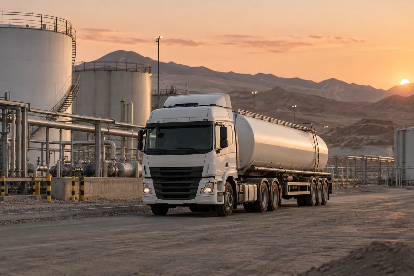
The truck entered the mountain range and from there we know nothing.
The last point on the map is two hours ago, at the entrance of the hill. The base does not know if the truck is downloading, stopped or with a problem.
The map shows the time of the last data of each truck, so the base distinguishes an old data from a stopped truck. Dromivia continues to keep track and unsignalled closures and it lifts them when the network returns, and the blind section is completed later.
- What we left set up
- We connect your trucks' GPS, install Dromivia on each driver's phone and mark with you the sections where the signal is lost.
- What you got next
- A dispatcher who knows how much silence is normal on each route and when to call.